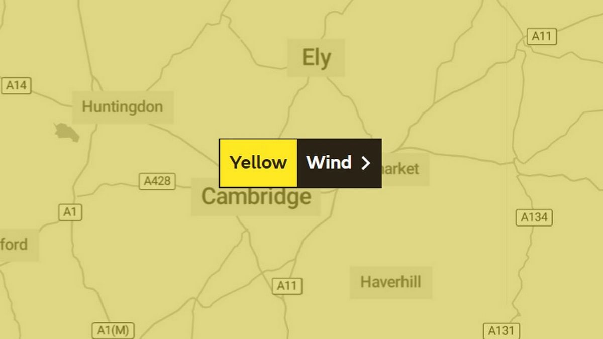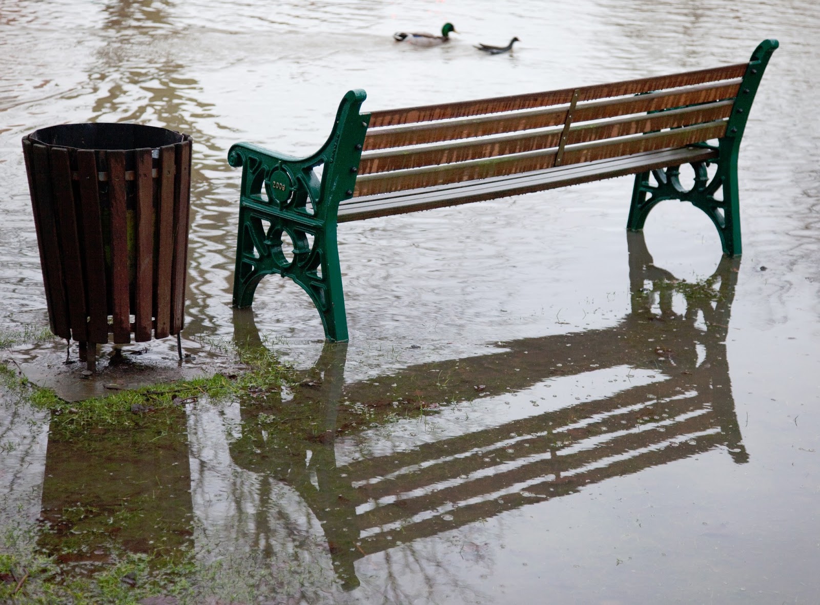
The Environment Agency has published new and up-to-date maps showing which parts of the country are at risk of flooding. They show the risk of flooding from rivers and the sea as well as the risk from surface water.
About 2.4 million homes are at risk from flooding by rivers and the sea and about 3 million from surface water.
Click here to see the flood risk map for Histon & Impington.